(514) 606-9604

→ Solution
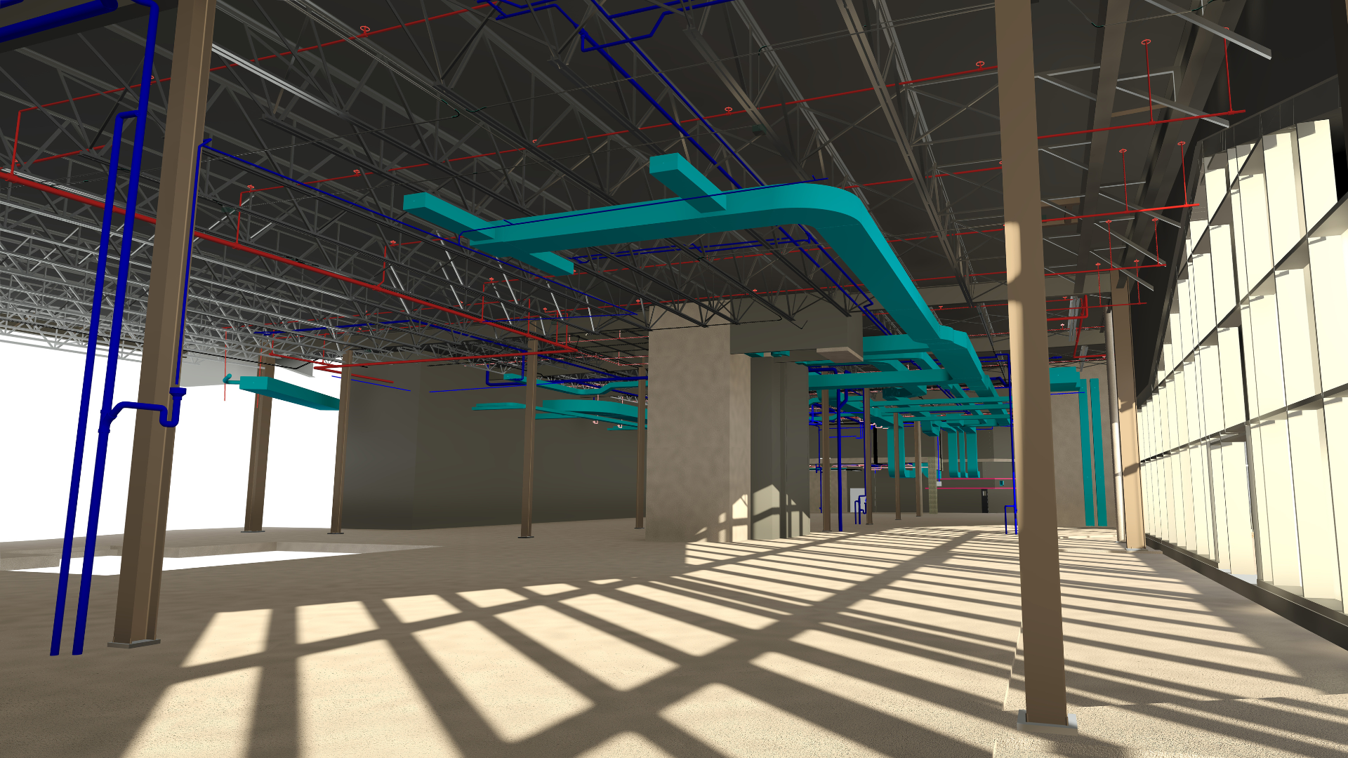
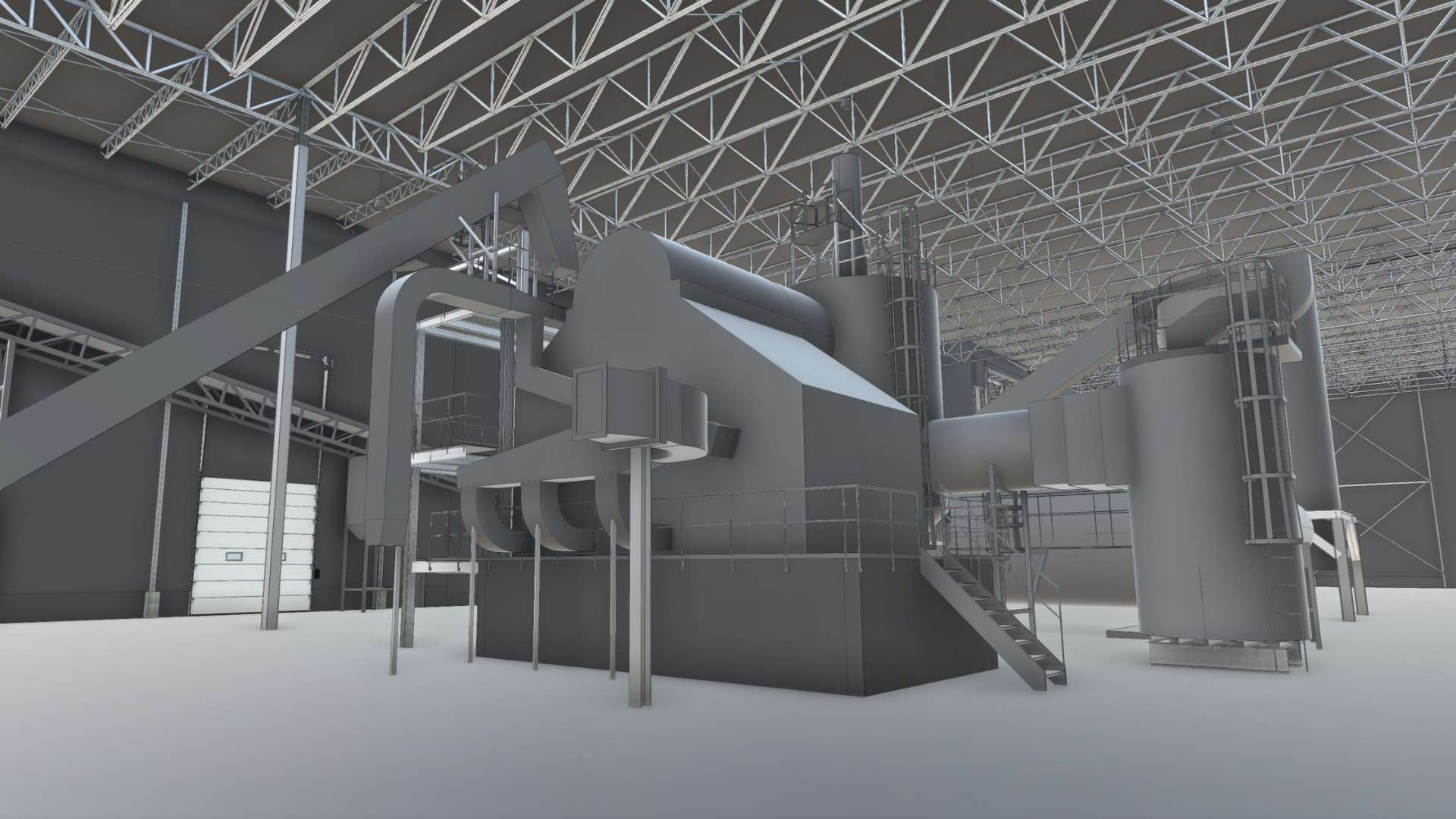
3D scanning.
Capture every aspect of your infrastructure with precision thanks to our 3D scanning services. Transform your physical spaces into high-quality 2D/3D digital plans.
Use of LIDAR equipment:
- Precision and speed
- Comprehensive survey
- Geolocation
What to expect

Precision
Millimetric precision to capture every detail of your building.

Flexibility
We tailor our services to your needs and specifications.

Speed
Fast, comprehensive data capture.
Our achievements

FAQ
Can I scan at height?
Yes, we can scan at height by positioning ourselves at strategic points, such as nearby buildings. Our scanners are highly accurate, with measurement deviations of less than 1.9 mm for every 10 meters. Although drones are an interesting option thanks to their aerial advantage, we still suggest tripod scans, which not only enable us to scan at height, but also to maintain optimum accuracy, which has a major impact on the quality of readings.
Can reflective surfaces be digitized?
Yes, it is possible to scan reflective surfaces, but this can present additional challenges. Laser scanners can have difficulty obtaining accurate measurements on highly reflective surfaces, as the laser beam can be deflected or scattered. To improve the accuracy of readings, we use specific techniques such as adjusting scanner parameters and choosing optimal scan angles to minimize reflections. These methods enable the laser to capture more accurate data without the need for surface treatments.
Can 3D scanning allow us to see through walls?
3D scanning captures only the visible external surfaces of an object or space, using technologies such as lasers or photogrammetry. Unlike X-rays, it cannot penetrate materials to reveal internal structures. However, 3D scanning can be combined with BIM (Building Information Modeling) techniques and structural and planarity analyses to obtain more precise information about your infrastructure. This creates a detailed and reliable model of your environment, facilitating project management and planning.
Can we scan outdoors?
3D scanning is extremely versatile, and can be used both indoors and outdoors. Precise scanning can be carried out in almost any environment, from historic sites to industrial complexes.
"The pointSpace team provided a high-quality, fast and efficient service to meet our operational needs. The plans produced by pointSpace help both our customers and our coordination team prepare for outstanding events at Théâtre St-James."
- Juliano Rodriguez-Daoust, VP Business Development and Acquisitions


Find out how to optimize your design processes.
From 3D scanning to BIM, pointSpace reinvents the way you work. Get a quote today and find out how we can revolutionize your process at the click of a button!
Technology pointSpace, all rights reserved 2025. Developed by
Sparkweb.ca